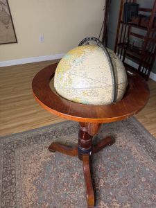
A globe is a three dimensional, scaled model of the Earth. Unlike flat maps, a globe preserves the true shapes, distances, directions, and relative positions of continents and oceans without distortion. It shows Earth as it actually exists in space- tilted on its axis, rotating through day and night.
Most globes display continents, countries, oceans, latitude and longitude lines, the Equator, the Prime Meridian, and major geographic features such as mountain ranges and river. Many also include political boundaries, capital cities, and time zones.
Because a globe mirrors the Earths spherical shape, it provides the most accurate way to visualize global geography.
Why Use a Globe Instead of a Map?
Flat maps must stretch or compress parts of the Earth to fit on paper. This causes distortion in size, distance, or shape – especially near the poles.
A globe allows you to see the true size relationship between countries, understand global positioning and hemispheres, visualize how the Earth rotates, and learn how seasons and time zones work.
If you want accuracy and perspective, a globe is the most faithful representation of our planet.
How to Use a Globe
- Understand its key features
- Finding a location
- Measuring direction
- Understand time and seasons